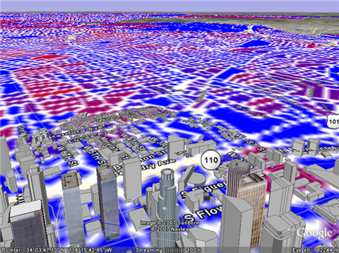
The GCensus web utility lets you download and overlay census information on top of Google Earth maps.
Just choose your data source (GCensus only maps population characteristics like race and age, but more info like income are likely to come), pick your location, download the .KML file, and dive in, you data junkie. Unfortunately GCensus currently only has information for California, Oregon, and Pennsylvania, so in the meantime, others might want to check out previously mentioned Social Explorer. In time and with a bit more data, GCensus looks like a potentially excellent research tool. And, of course, it’s fun. — Adam Pash
GCensus [Stanford.edu]
From Lifehacker